
Time and place
Turkey
These dates mark the focus of this case, not the full history of the place or its communities.
First settlements · Settlement · Turkey
7400 BCE–5200 BCE (focus interval)
How does a settlement take shape without streets?
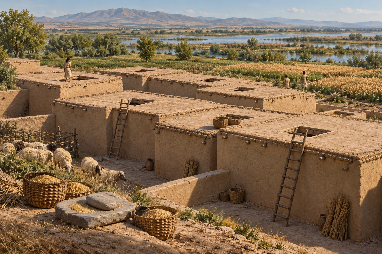
The closely packed houses at Çatalhöyük were reached through roof openings. Successive occupation levels on the eastern mound and a later western settlement let researchers study how people arranged and rebuilt their homes.
Turkey · 7400 BCE–5200 BCE (focus interval)
These points locate named sites or parts of a listed property. They show geographic references, not ancient borders or excavation plans. They make no claim about present-day sovereignty.
● Published reference point. Natural Earth public-domain land outline. No political boundaries are shown. The map does not capture scrolling.
Published heritage-property reference point; not an excavation coordinate or ancient boundary. Present-day geographic reference for the named site/component; does not date an occupation or establish a territory.
37.6667°, 32.8281° · Coordinate source ↗
N37 40 0 E32 49 41
Coordinate source checked 2026-10-27.
Turkey
These dates mark the focus of this case, not the full history of the place or its communities.
The eastern mound preserves successive Neolithic occupation levels; the western mound adds a later settlement sequence.
Roof access makes movement through the settlement part of the question, alongside cooking, storage and rebuilding.
A building arrangement does not establish one system of government for every early village.
The architecture project and UNESCO may describe the same excavations. Their separate websites do not establish independent confirmation. The project’s image terms also require file-level reuse review.
Source links apply to specific claims. Several links can lead back to the same study. Read what each source supports.
What remains uncertain
A building arrangement does not establish one system of government for every early village.
Institutional primary description; introductory synthesis
Description and statement of Outstanding Universal Value
What remains uncertain
This layout does not identify a complete political system.
Excavation-project architectural interpretation
Architecture, paragraph 1
What remains uncertain
Most houses share a general pattern, but their shapes and sizes differ.
Excavated features and activity interpretation
Architecture, paragraphs 2–3
Roof access makes movement through the settlement part of the question, alongside cooking, storage and rebuilding.
Limit: A building arrangement does not establish one system of government for every early village.
UNESCO World Heritage Centre: Çatalhöyük ↓Cooking, storage and other activities are interpreted from features within individual houses.
Limit: A general house layout is not an identical daily routine for every household.
Çatalhöyük Research Project: Architecture ↓Repeated infilling and rebuilding contributed to the mound’s formation.
Limit: The surviving mound combines successive occupations.
Çatalhöyük Research Project: Architecture ↓The eastern mound preserves successive Neolithic occupation levels; the western mound adds a later settlement sequence.
Institutional primary web account inspected 27 October 2026; no fieldwork or independent peer review claimed
Several links may describe the same research. Shared authors or data can limit how much independent confirmation they provide.
House access, internal activity areas and rebuilding.
Primary institutional/project text inspected 27 October 2026; specified body sections read
Several links may describe the same research. Shared authors or data can limit how much independent confirmation they provide.