
Time and place
Sudan
These dates mark the focus of this case, not the full history of the place or its communities.
States + empires · Institutions · Sudan
800 BCE–400 CE (focus interval)
How do royal places work within a dry landscape?
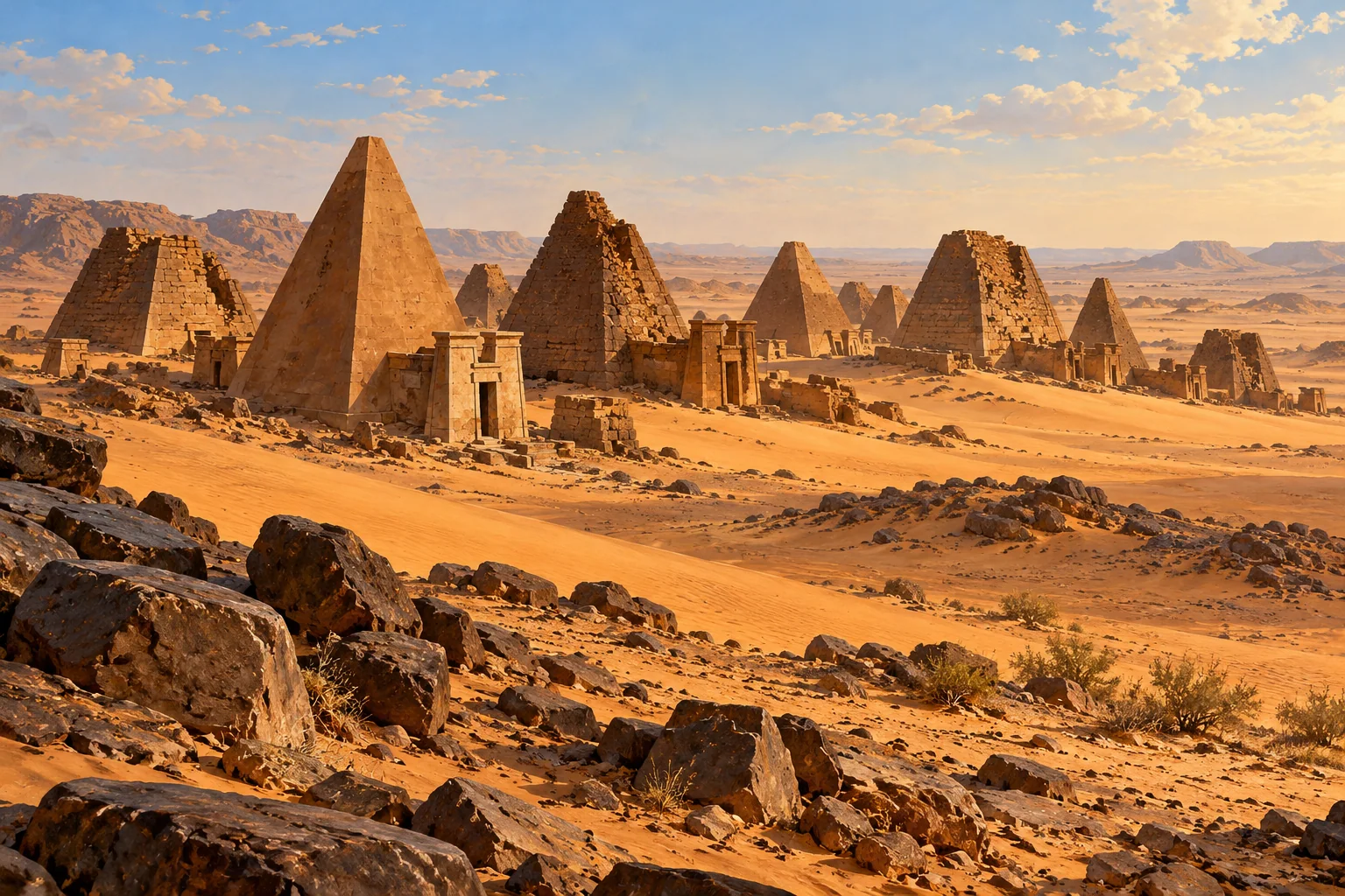
Meroë, Naqa and Musawwarat es-Sufra preserve royal, religious, domestic and water-management remains. Together they allow questions about how places were organized beyond the royal tombs.
Sudan · 800 BCE–400 CE (focus interval)
These points locate named sites or parts of a listed property. They show geographic references, not ancient borders or excavation plans. They make no claim about present-day sovereignty.
● Published reference point. Natural Earth public-domain land outline. No political boundaries are shown. The map does not capture scrolling.
Published heritage component reference; not excavation geometry or ancient territorial boundary. Present-day geographic reference for the named site/component; does not date an occupation or establish a territory.
16.9333°, 33.7167° · Coordinate source ↗
1336-001 · Meroe 1 · Sudan · N16 55 60.00 E33 43 0.00
Coordinate source checked 2026-10-27.
Published heritage component reference; not excavation geometry or ancient territorial boundary. Present-day geographic reference for the named site/component; does not date an occupation or establish a territory.
16.9333°, 33.7500° · Coordinate source ↗
1336-002 · Meroe 2 · Sudan · N16 55 60.00 E33 45 0.00
Coordinate source checked 2026-10-27.
Published heritage component reference; not excavation geometry or ancient territorial boundary. Present-day geographic reference for the named site/component; does not date an occupation or establish a territory.
16.4167°, 33.3333° · Coordinate source ↗
1336-003 · Musawwarat es-Sufra · Sudan · N16 25 0.00 E33 19 60.00
Coordinate source checked 2026-10-27.
Published heritage component reference; not excavation geometry or ancient territorial boundary. Present-day geographic reference for the named site/component; does not date an occupation or establish a territory.
16.2708°, 33.2792° · Coordinate source ↗
1336-004 · Naqa · Sudan · N16 16 15.00 E33 16 45.00
Coordinate source checked 2026-10-27.
Sudan
These dates mark the focus of this case, not the full history of the place or its communities.
The property includes Meroë, Naqa and Musawwarat es-Sufra, with royal, religious, domestic and water-management remains.
Water infrastructure adds a different kind of evidence to the temples and royal monuments.
This Meroitic focus does not cover all of Kerma, Kush or their changing populations.
The project account adds archaeological evidence to the heritage summary, but the two may draw on overlapping fieldwork. Separate URLs are not separate replications.
Source links apply to specific claims. Several links can lead back to the same study. Read what each source supports.
What remains uncertain
This Meroitic focus does not cover all of Kerma, Kush or their changing populations.
Institutional primary description; introductory synthesis
Description and statement of Outstanding Universal Value
What remains uncertain
This local water system is not a census of Kushite water management.
Archaeological and geophysical interpretation
The Great Hafir, paragraphs 1–5
What remains uncertain
The construction range does not date every later use or repair.
Reported radiocarbon chronology
The Great Hafir, final paragraph
Water infrastructure adds a different kind of evidence to the temples and royal monuments.
Limit: This Meroitic focus does not cover all of Kerma, Kush or their changing populations.
UNESCO World Heritage Centre: Meroë ↓Reservoirs and channels show infrastructure supporting a religious center away from the Nile.
Limit: Do not treat the modern landscape as an unchanged ancient environment.
Musawwarat Project: The Great Hafir ↓Construction and subsequent use require different chronological questions.
Limit: A broad date range is not a precise building year.
Musawwarat Project: The Great Hafir ↓The property includes Meroë, Naqa and Musawwarat es-Sufra, with royal, religious, domestic and water-management remains.
Institutional primary web account inspected 27 October 2026; no fieldwork or independent peer review claimed
Several links may describe the same research. Shared authors or data can limit how much independent confirmation they provide.
Reservoir components, investigation and chronology.
Primary institutional/project text inspected 27 October 2026; specified body sections read
Several links may describe the same research. Shared authors or data can limit how much independent confirmation they provide.