
Time and place
Iraq
These dates mark the focus of this case, not the full history of the place or its communities.
Connected worlds · Settlement · Iraq
836 CE–892 CE (focus interval)
What can the footprint of a capital reveal?
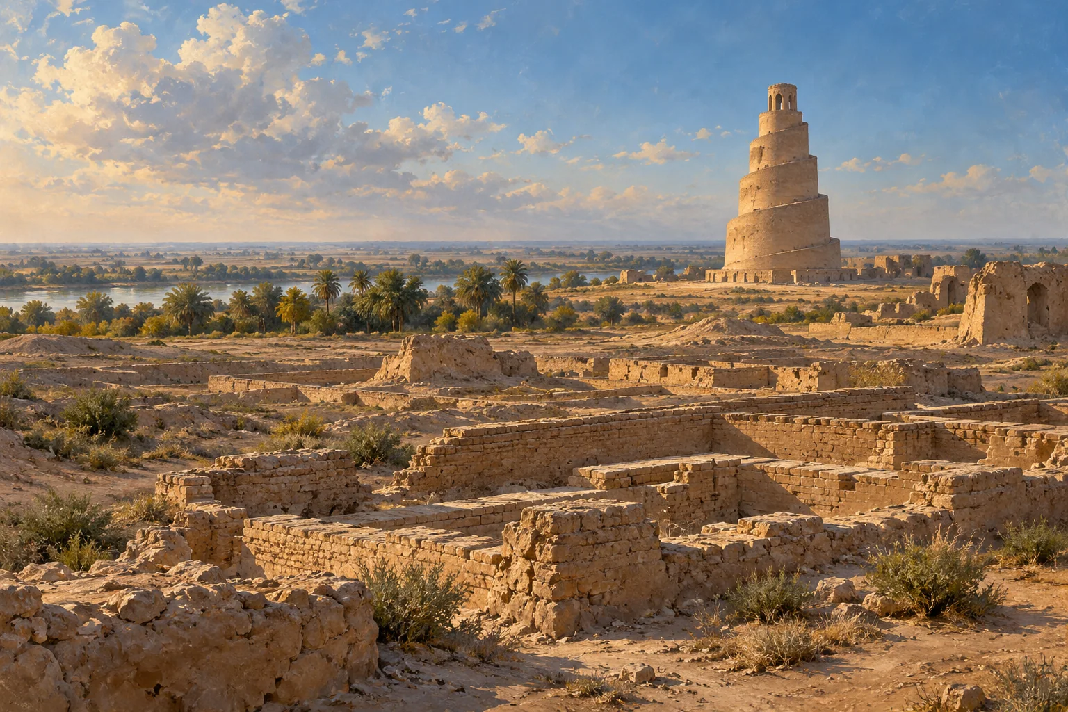
Samarra’s palaces and major mosques form part of a large Abbasid urban landscape. The excavation archive also records pottery, painted fragments and plaster, offering evidence beyond the capital’s skyline.
Iraq · 836 CE–892 CE (focus interval)
These points locate named sites or parts of a listed property. They show geographic references, not ancient borders or excavation plans. They make no claim about present-day sovereignty.
● Published reference point. Natural Earth public-domain land outline. No political boundaries are shown. The map does not capture scrolling.
Published heritage component reference; not excavation geometry or ancient territorial boundary. Present-day geographic reference for the named site/component; does not date an occupation or establish a territory.
34.3410°, 43.8235° · Coordinate source ↗
276rev-001 · Samarra North Zone - al-Mutawakkiliyya · Iraq · N34 20 27.56 E43 49 24.76
Coordinate source checked 2026-10-27.
Published heritage component reference; not excavation geometry or ancient territorial boundary. Present-day geographic reference for the named site/component; does not date an occupation or establish a territory.
34.2263°, 43.8826° · Coordinate source ↗
276rev-002 · Samarra Centre Zone · Iraq · N34 13 34.59 E43 52 57.26
Coordinate source checked 2026-10-27.
Published heritage component reference; not excavation geometry or ancient territorial boundary. Present-day geographic reference for the named site/component; does not date an occupation or establish a territory.
34.1226°, 43.9306° · Coordinate source ↗
276rev-003 · Samarra South Zone · Iraq · N34 7 21.42 E43 55 50.23
Coordinate source checked 2026-10-27.
Published heritage component reference; not excavation geometry or ancient territorial boundary. Present-day geographic reference for the named site/component; does not date an occupation or establish a territory.
34.0803°, 43.9156° · Coordinate source ↗
276rev-004 · al-Istablat · Iraq · N34 4 49.04 E43 54 56.12
Coordinate source checked 2026-10-27.
Published heritage component reference; not excavation geometry or ancient territorial boundary. Present-day geographic reference for the named site/component; does not date an occupation or establish a territory.
34.2321°, 43.8399° · Coordinate source ↗
276rev-005 · al-Quwayr · Iraq · N34 13 55.63 E43 50 23.53
Coordinate source checked 2026-10-27.
Published heritage component reference; not excavation geometry or ancient territorial boundary. Present-day geographic reference for the named site/component; does not date an occupation or establish a territory.
34.2277°, 43.7989° · Coordinate source ↗
276rev-006 · Qubbat al-Sulaibiyya · Iraq · N34 13 39.54 E43 47 56.09
Coordinate source checked 2026-10-27.
Published heritage component reference; not excavation geometry or ancient territorial boundary. Present-day geographic reference for the named site/component; does not date an occupation or establish a territory.
34.2420°, 43.8094° · Coordinate source ↗
276rev-007 · al-Ma'shuq · Iraq · N34 14 31.14 E43 48 34.02
Coordinate source checked 2026-10-27.
Published heritage component reference; not excavation geometry or ancient territorial boundary. Present-day geographic reference for the named site/component; does not date an occupation or establish a territory.
34.2666°, 43.8018° · Coordinate source ↗
276rev-008 · Tell Umm al-Sakhr · Iraq · N34 15 59.82 E43 48 6.33
Coordinate source checked 2026-10-27.
Published heritage component reference; not excavation geometry or ancient territorial boundary. Present-day geographic reference for the named site/component; does not date an occupation or establish a territory.
34.2945°, 43.7888° · Coordinate source ↗
276rev-009 · al-Huwaysilat Upper · Iraq · N34 17 40.06 E43 47 19.81
Coordinate source checked 2026-10-27.
Published heritage component reference; not excavation geometry or ancient territorial boundary. Present-day geographic reference for the named site/component; does not date an occupation or establish a territory.
34.2991°, 43.7893° · Coordinate source ↗
276rev-010 · al-Huwaysilat Lower · Iraq · N34 17 56.90 E43 47 21.64
Coordinate source checked 2026-10-27.
Iraq
These dates mark the focus of this case, not the full history of the place or its communities.
Samarra preserves a large Abbasid urban landscape including palaces and major mosques.
The size of a capital and the materials found within it answer different questions about institutions and daily activity.
One ninth-century capital cannot represent every Islamicate community, region or historical period.
The Berlin archive preserves the Sarre-Herzfeld excavation records. Its pages are not separate independent studies, and access does not settle object-acquisition history or photographic reuse rights.
Source links apply to specific claims. Several links can lead back to the same study. Read what each source supports.
What remains uncertain
One ninth-century capital cannot represent every Islamicate community, region or historical period.
Institutional primary description; introductory synthesis
Description and statement of Outstanding Universal Value
What remains uncertain
Archival photographs require object/context and provenance review before broad economic or social interpretations.
Primary research or collection account; access and inference limits apply
Contextualising Archaeological Finds; Samarra historical introduction
What remains uncertain
Digital accessibility does not itself authorize image reuse or resolve the acquisition history of excavated objects.
Primary research or collection account; access and inference limits apply
Contextualising Archaeological Finds; Samarra historical introduction
The size of a capital and the materials found within it answer different questions about institutions and daily activity.
Limit: One ninth-century capital cannot represent every Islamicate community, region or historical period.
UNESCO World Heritage Centre: Samarra ↓The excavation archive records pottery, painted and plaster fragments as well as major buildings; the capital can be approached through materials alongside its skyline.
Limit: Archival photographs require object/context and provenance review before broad economic or social interpretations.
Museum für Islamische Kunst: Digitising Samarra excavation photographs ↓Berlin's digitization links roughly 1,500 excavation photographs with find records, making the history of documentation part of the reader's evidence trail.
Limit: Digital accessibility does not itself authorize image reuse or resolve the acquisition history of excavated objects.
Museum für Islamische Kunst: Digitising Samarra excavation photographs ↓Samarra preserves a large Abbasid urban landscape including palaces and major mosques.
Institutional primary web account inspected 27 October 2026; no fieldwork or independent peer review claimed
Several links may describe the same research. Shared authors or data can limit how much independent confirmation they provide.
Museum's excavation archive connects photographs and excavated objects and gives the capital interval as 836–892.
Museum research-project description, dates and digitization inventory inspected
Several links may describe the same research. Shared authors or data can limit how much independent confirmation they provide.