
Time and place
Mexico
These dates mark the focus of this case, not the full history of the place or its communities.
Connected worlds · Settlement · Mexico
1300 CE–1521 CE (focus interval)
What remains visible when a city is rebuilt?
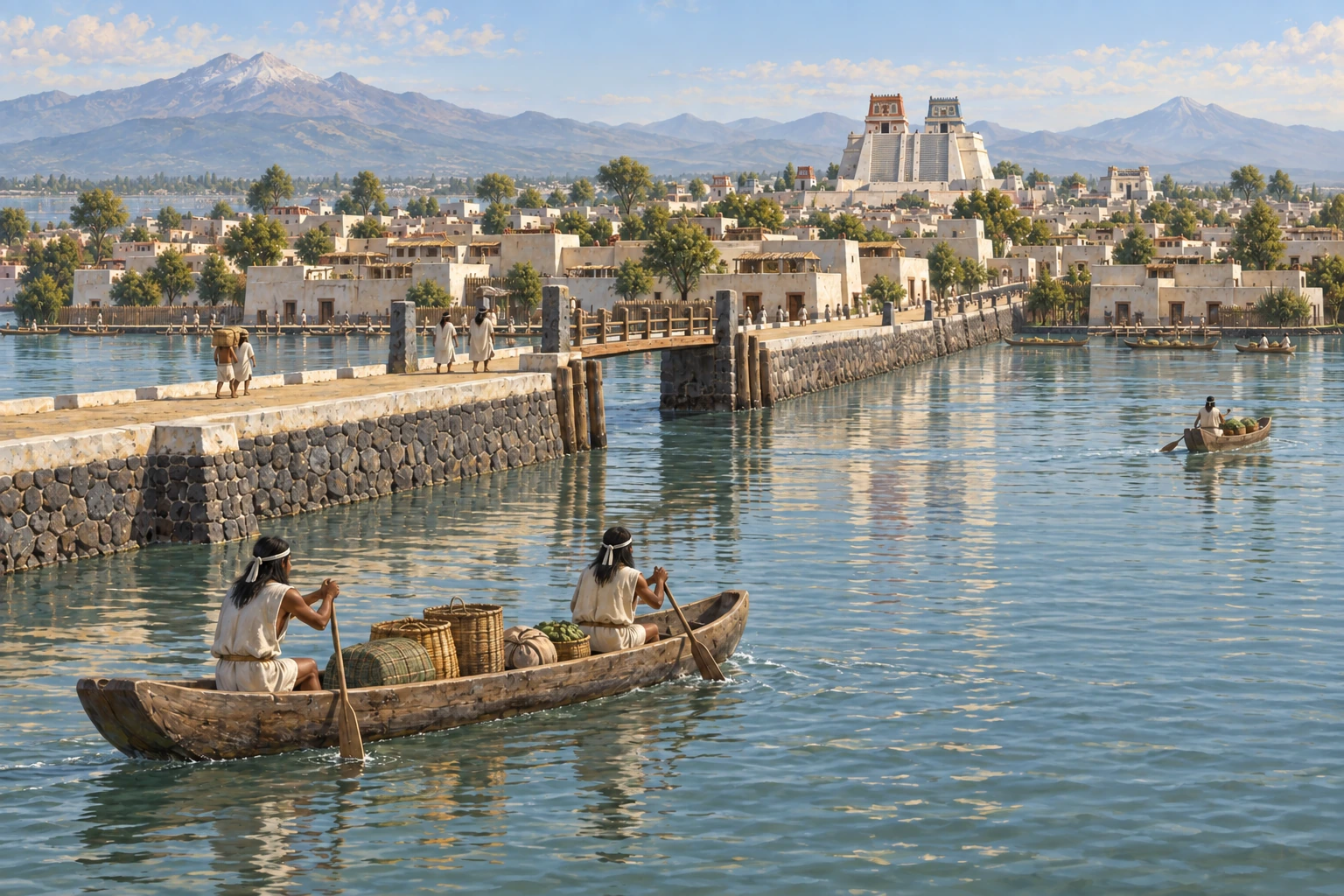
The Mexico City and Xochimilco property brings together a layered historic center, canals and artificial islands. The surviving water infrastructure raises questions about what changed and what continued.
Mexico · 1300 CE–1521 CE (focus interval)
These points locate named sites or parts of a listed property. They show geographic references, not ancient borders or excavation plans. They make no claim about present-day sovereignty.
● Published reference point. Natural Earth public-domain land outline. No political boundaries are shown. The map does not capture scrolling.
Published heritage component reference; not excavation geometry or ancient territorial boundary. Present-day geographic reference for the named site/component; does not date an occupation or establish a territory.
19.4335°, -99.1330° · Coordinate source ↗
412-001 · Historic Centre of Mexico City · Mexico · N19 26 0.53 W99 7 58.83
Coordinate source checked 2026-10-27.
Published heritage component reference; not excavation geometry or ancient territorial boundary. Present-day geographic reference for the named site/component; does not date an occupation or establish a territory.
19.2498°, -99.0989° · Coordinate source ↗
412-002 · Xochimilco Federal District: Xochimilco 1 · Mexico · N19 14 59.38 W99 5 56.13
Coordinate source checked 2026-10-27.
Published heritage component reference; not excavation geometry or ancient territorial boundary. Present-day geographic reference for the named site/component; does not date an occupation or establish a territory.
19.2731°, -99.0862° · Coordinate source ↗
412-003 · Xochimilco 2 · Mexico · N19 16 23.15 W99 5 10.2
Coordinate source checked 2026-10-27.
Published heritage component reference; not excavation geometry or ancient territorial boundary. Present-day geographic reference for the named site/component; does not date an occupation or establish a territory.
19.2207°, -98.9644° · Coordinate source ↗
412-003 · Xochimilco 3 · Mexico · N19 13 14.38 W98 57 51.81
Coordinate source checked 2026-10-27.
Mexico
These dates mark the focus of this case, not the full history of the place or its communities.
The listed property links the layered historic center of Mexico City with the canals and artificial islands of Xochimilco.
Present-day chinampas cannot all be assumed unchanged from before the conquest.
Present-day chinampas must not all be assumed unchanged from the pre-conquest period; Mexica history is not the history of every people of Mexico.
The INAH account reports a particular excavation campaign. A related journal article was available only as an indexed abstract, not a completed full-text review. Applicability to living chinampa communities still needs review.
Source links apply to specific claims. Several links can lead back to the same study. Read what each source supports.
What remains uncertain
Present-day chinampas must not all be assumed unchanged from the pre-conquest period; Mexica history is not the history of every people of Mexico.
Institutional primary description; introductory synthesis
Description and statement of Outstanding Universal Value
What remains uncertain
This is one excavated neighborhood, not every canal or modern chinampa.
Primary research/institutional source, bounded finding
Paragraphs describing 53 excavation units, chinampa dimensions and three channel categories
What remains uncertain
Use of individual plots must not be generalized to the entire urban landscape.
Primary research/institutional source, bounded finding
Paragraph beginning Con base en el levantamiento gráfico
Present-day chinampas cannot all be assumed unchanged from before the conquest.
Limit: Present-day chinampas must not all be assumed unchanged from the pre-conquest period; Mexica history is not the history of every people of Mexico.
UNESCO World Heritage Centre: Tenochtitlan and Xochimilco ↓Excavated plots reveal food production and habitation within a canal landscape, rather than a simple separation of city and countryside.
Limit: Plant lists in the account include the excavator’s interpretation, not a crop inventory measured for every plot.
INAH salvage archaeology: chinampas and canals at Ateponazco ↓The listed property links the layered historic center of Mexico City with the canals and artificial islands of Xochimilco.
Institutional primary web account inspected 27 October 2026; no fieldwork or independent peer review claimed
Several links may describe the same research. Shared authors or data can limit how much independent confirmation they provide.
Excavated cultivation, water-distribution and dwelling traces in southwestern Tenochtitlan.
Institutional primary excavation account inspected in full
Several links may describe the same research. Shared authors or data can limit how much independent confirmation they provide.