
Time and place
Mongolia
These dates mark the focus of this case, not the full history of the place or its communities.
Connected worlds · Settlement · Mongolia
1200 CE–1400 CE (focus interval)
How can a capital belong to a mobile landscape?
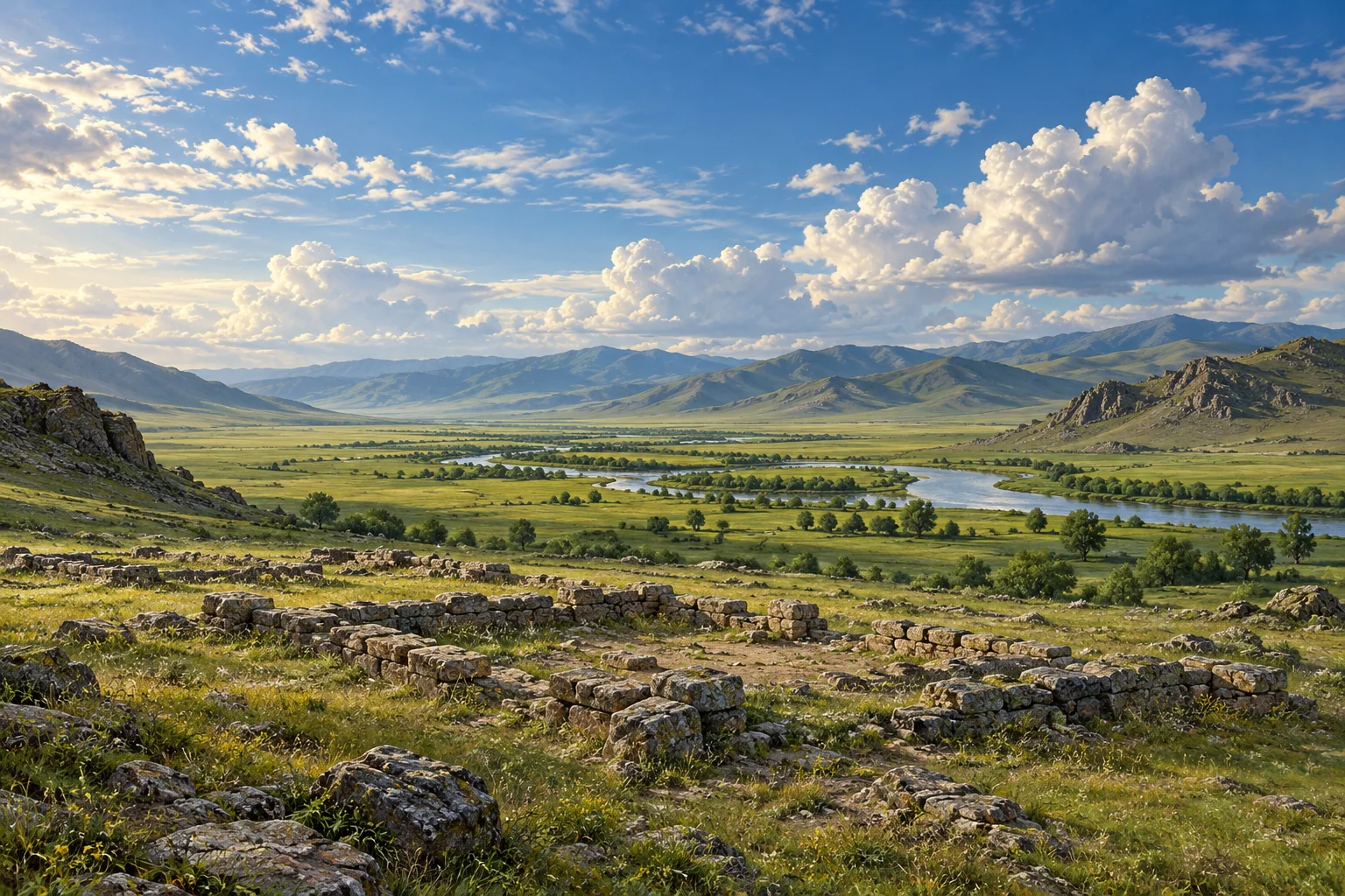
The remains of Karakorum sit within the Orkhon Valley’s pastoral cultural landscape. Studying the capital alongside that landscape avoids treating the city as the whole Mongol Empire.
Mongolia · 1200 CE–1400 CE (focus interval)
These points locate named sites or parts of a listed property. They show geographic references, not ancient borders or excavation plans. They make no claim about present-day sovereignty.
● Published reference point. Natural Earth public-domain land outline. No political boundaries are shown. The map does not capture scrolling.
Published heritage-property reference point; not an excavation coordinate or ancient boundary. Present-day geographic reference for the named site/component; does not date an occupation or establish a territory.
47.4792°, 102.6785° · Coordinate source ↗
N47 28 45.17 E102 40 42.535
Coordinate source checked 2026-10-27.
Mongolia
These dates mark the focus of this case, not the full history of the place or its communities.
The Orkhon Valley property includes the remains of Karakorum and a landscape shaped by pastoral and other cultural practices.
The research can test aspects of a city’s extent without claiming a complete or final boundary.
The thirteenth-to-fourteenth-century focus does not bound the whole cultural landscape or map the Mongol Empire.
The Mongolian-German research and later project summaries should not be counted as separate field studies. No complete city boundary is established. Article images include NC-ND restrictions and some third-party map credits.
Source links apply to specific claims. Several links can lead back to the same study. Read what each source supports.
What remains uncertain
The thirteenth-to-fourteenth-century focus does not bound the whole cultural landscape or map the Mongol Empire.
Institutional primary description; introductory synthesis
Description and statement of Outstanding Universal Value
What remains uncertain
Different evidence types do not all measure the same thing.
Primary research/institutional source, bounded finding
Abstract; Methods
What remains uncertain
Small sites may be missed; northern/eastern/southeastern limits were not fully resolved.
Primary research/institutional source, bounded finding
Methods; Results: Size
The research can test aspects of a city’s extent without claiming a complete or final boundary.
Limit: The thirteenth-to-fourteenth-century focus does not bound the whole cultural landscape or map the Mongol Empire.
UNESCO World Heritage Centre: Orkhon Valley ↓The city’s activities extended beyond a wall, making urban extent a question for survey rather than a line taken for granted.
Limit: The survey is not an exact map of every occupation phase or the Mongol Empire.
Bemmann et al. (online2021, print2022), Mapping Karakorum ↓The Orkhon Valley property includes the remains of Karakorum and a landscape shaped by pastoral and other cultural practices.
Institutional primary web account inspected 27 October 2026; no fieldwork or independent peer review claimed
Several links may describe the same research. Shared authors or data can limit how much independent confirmation they provide.
Magnetic/topographic and pedestrian survey of city and hinterland, including explicit access/sampling limits.
Primary full-text Abstract, Methods and Results/analysis inspected
Several links may describe the same research. Shared authors or data can limit how much independent confirmation they provide.